
Jackson County ZIP Directory Coverage
Jackson County has many shared mailing areas. The Jackson County Election Board jurisdiction list ties selected ZIP and city labels to election geography, but it is not a USPS boundary database. A ZIP code can reach more than one community, and the listed city label may not match a corporate boundary. The examples below are useful starting points for a Jackson County mailing search because each requires an address-level check.
| ZIP | Areas covered on JCEB crosswalk | Post Office | Research note |
|---|---|---|---|
| 64015 | Blue Springs, Independence, Lake Tapawingo | Confirm with USPS for the entered address | Strong city-label overlap |
| 64065 | Greenwood, Lee’s Summit, Unity Village | Confirm with USPS for the entered address | Shared mailing geography |
| 64086 | Blue Springs, Lake Lotawana, Lee’s Summit, Lone Jack, Unity Village | Confirm with USPS for the entered address | Broad multi-community example |
| 64129 | Grandview, Independence, Kansas City, Raytown | Confirm with USPS for the entered address | Clear city and jurisdiction mismatch |
| 64136 | Independence, Kansas City, Lee’s Summit | Confirm with USPS for the entered address | Shared city labels do not set districts |
The Jackson County crosswalk has a larger county set, including smaller labels such as Buckner, Levasy, Sibley, Kingsville, Napoleon, and River Bend. It does not establish a post office for every row, so the Post Office column intentionally directs the search back to USPS. A precise address may have a recognized mailing city that differs from the city shown in an election or historical source.
Jackson County ZIP Code Crosswalk
The JCEB list is valuable because it separates city and ZIP labels from school, library, fire, water, county-legislature, and election districts. Its examples show why a mailing label is only one field in a records search. ZIP 64129 appears with Grandview, Independence, Kansas City, and Raytown. ZIP 64134 is associated with Grandview, Kansas City, and Lee’s Summit. A result that says one of those city names should be checked against the parcel and the actual municipal jurisdiction before a county record request is sent.
Jackson County’s local history makes the distinction more than a technical issue. River Bend is the county’s north-of-the-Missouri-River pocket, and the Jackson County Historical Society describes its separate community history after a river-channel move. Unity Village, Lake Lotawana, Lake Tapawingo, and rural labels such as Sibley can also appear in Jackson County records that use a different place name from a current mailing address. Retain the source date and city wording rather than silently replacing it with a modern label.
Note: The JCEB crosswalk is a jurisdiction aid, while USPS and county GIS answer the address-specific mailing and parcel questions.
USPS Checks in Jackson County
The USPS address lookup asks three different questions: an address check, a city-and-state search, and a reverse ZIP search. The city-and-state route is useful for discovering possible codes. An address query is the better mailing-normalization check. The reverse route explains recognized city names. USPS expressly warns that a result does not confirm that a person or company occupies an address.
| USPS field or mode | Best use in Jackson County |
|---|---|
| Address mode | Normalize a complete street address before comparing it with county records. |
| Street address | Use the physical delivery address, adding apartment or suite detail when needed. |
| City and state | Find possible mailing codes when the street address is not yet known. |
| Reverse ZIP mode | Review recognized city names that may help explain a historic or alternate label. |
| Company or apartment | Add available delivery detail without treating it as proof of residence. |
Use the postal result as a narrow mailing fact. It does not identify the county, municipal boundary, parcel, school district, tax district, or owner. Jackson County property and map systems must resolve those separate questions. That distinction is especially important in shared areas where a city name can change without moving the physical address very far.
Finding Residents by Jackson County ZIP Code
A ZIP can narrow a resident search, but the research did not identify a countywide public roll that simply lists every person in a mailing area. Work from a specific Jackson County address, parcel, or lawful name lead instead. The sequence below keeps the postal, parcel, and election questions separate, and it avoids presenting a mailing area as a household list.
- Use USPS city-and-state or address mode to identify the recognized mailing ZIP and city for the address at issue.
- Enter the full address in the Jackson County Public Property Portal or Property Info tool. Preserve the situs address, parcel number, and legal description returned.
- Open the Jackson County Parcel Viewer to check the exact school, library, fire, water, and TIF fields that a shared ZIP cannot supply.
- Use JCEB for addresses outside Kansas City’s corporate limits and the Kansas City Election Board for city voters. Request older voter material from the proper custodian only when the public field and purpose allow it.
When a mailing area has been narrowed to a particular road or parcel, the Jackson County street directory has the address-by-address workflow for parcel, deed, and historical street evidence. The postal result should remain a search key, not the final answer to who occupies a property.
Jackson County ZIP Directory Districts
Two Jackson County addresses with the same ZIP can fall in different public-service districts. JCEB lists school districts such as Hickman Mills, Raytown, Grandview, Lone Jack, Independence, Fort Osage, Blue Springs, Grain Valley, Oak Grove, and Lee’s Summit, along with library, fire, and water districts. The parcel viewer offers those district fields at the property level, so it is the better source when a service, election, or tax question depends on the exact parcel.
The property card can also show a legal description, tax-code area, exemption, values, TIF information, and owner or mailing address as shown. Those fields support record routing, not a conclusion about current occupancy. For recorded ownership or a deed description, carry the parcel details to the Aumentum real-estate index and compare the instrument fields with the same legal-description clues.
When an address lies near a municipal edge, save the parcel number and the date of each map or portal check. Those details make a later Jackson County comparison reproducible.
Jackson County ZIP Election Split
Corporate city limits decide the election-board route, not the mailing label alone. JCEB serves voters outside Kansas City’s corporate limits within Jackson County. Kansas City voters use the Kansas City Election Board. The state voter route uses the person’s registered name, date of birth, last four Social Security digits, and county, while the local board retains the Jackson County jurisdiction-specific record. Neither an online lookup nor a postal match proves current occupancy after a move.
The official JCEB voter-information page presents the county lookup and sends Kansas City residents to the appropriate city board.
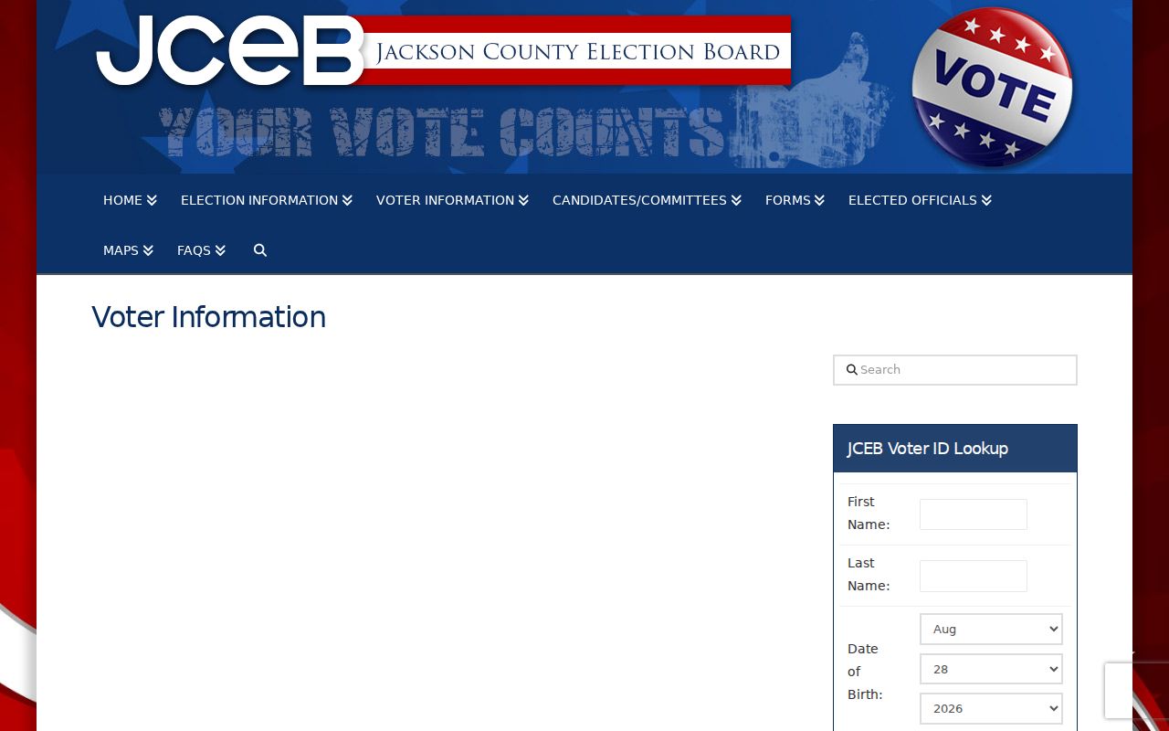
The jurisdiction warning on that route is a practical reminder to compare city limits, the postal result, and the parcel record before treating a ZIP label as an election-office answer.
For historical records, the JCEB request form asks for a specific record and time period, delivery choice, fee cap, contact information, and signature. Missouri RSMo §115.157 defines a limited public voter schema, and protected addresses can be closed. Request only the existing record needed for the lawful research purpose.
Historic Labels in Jackson County ZIPs
Historical Jackson County research needs room for former post-office and community labels. The Jackson County Historical Society identifies Sibley as a river, trail, and rail community shaped by floods, fire, a tornado, and the 1887 Santa Fe railroad shift. River Bend became a north-of-river community after the channel moved in 1949. A directory, plat, newspaper, or deed may therefore use a place name that does not look like the present mailing label.
Use the JCHS county and town directory as a context source, then compare old maps, plats, directory pages, and the current parcel description. The date is essential. A historical place label can help find the right archive or town record, but it should not be converted into a current boundary claim. Countywide street-renumbering records were not identified in the research, so municipal ordinance, planning, public works, or archival routes are needed for an individual street-history question.
Jackson County ZIP Myth: City Limits
A ZIP boundary and a city boundary do different work. USPS controls recognized delivery naming and mail sorting. County Assessment and GIS control parcel, situs, legal-description, and district information. The Recorder controls recorded instruments. JCEB or the Kansas City Election Board controls election jurisdiction. Accurate mailing research uses each source for its own field, rather than asking one result to settle all four questions.
- ZIP and ZIP+4
- A ZIP identifies a broad delivery area. ZIP+4 adds a narrower delivery segment and still does not define a municipal boundary.
- PO-box ZIP
- A ZIP assigned for post-office boxes. It does not locate a physical residence.
- Unique ZIP
- A ZIP associated with a single large organization or delivery arrangement. It is not evidence about a nearby address.
- Carrier route
- A postal delivery grouping. It can organize mail, but it is not a parcel, city-limit, or resident record.