
Jackson County Neighbors at One Address
Public records answer different block questions. A parcel viewer shows land boundaries and other property fields. The assessment record may show an owner and mailing address as recorded. A voter source can identify a correct election jurisdiction under Missouri rules. A historical directory can show a dated listed address. None of these sources proves that every person connected with a nearby address currently lives there. For Jackson County neighbors, begin with the parcel and treat every name as a time-bound record fact.
| Block source | What it can show around an address | Access route |
|---|---|---|
| Jackson County Parcel Viewer | Parcel boundaries, roads, lot context, legal description, districts, and owner fields as shown | Public map after its disclaimer gate |
| Public Property Portal | Address or parcel lead, current assessment fields, owner and mailing address as shown | Public online search and county assessment route |
| Collector tax search | Tax-account lead by PIN, owner, property address, or mailing address | Online search, phone routing, or county office |
| Election-board records | Registration, district, and public voter fields subject to jurisdiction and statutory limits | Correct board lookup or written records request |
| Historical directories and maps | Dated street sequence, city label, listed address, and neighborhood context | MGC, KCPL, archives, and reading-room routes |
Check the city field before opening a record. Jackson County includes Kansas City, Independence, Blue Springs, Lee's Summit, Raytown, and smaller communities. One ZIP, mailing city, or county label does not settle the municipal or election jurisdiction. Note: A parcel boundary is a location fact, not proof of a social relationship or present occupancy.
Map Jackson County Parcel Neighbors
The Jackson County Parcel Viewer provides the safer first step for a block question. Search the county's normalized address, pass the viewer's disclaimer gate, and open the target parcel. The map can provide surrounding parcel identifiers, streets, subdivisions, lot or block context, districts, legal descriptions, and owner fields. It also distinguishes map context from the address text that appeared in an older directory. Use a separate record for every neighboring parcel rather than drawing conclusions from visual proximity alone.
- Enter the address in the county form: house number, direction when applicable, street, city, and ZIP.
- Confirm the returned parcel, situs address, and legal description before looking at the map.
- Open only the directly surrounding parcel records and record their parcel identifiers, streets, subdivision, and displayed owner fields.
- Compare district and municipality information on each parcel, then use the recorder only when a recorded-instrument question remains.
- Move to the Jackson County street directory when the question becomes a full named-street history rather than an immediate block.
The Parcel Viewer supports printing or exporting property information and exposes fields for school, library, fire, and water districts. It does not turn a block map into a roster of Jackson County neighbors. Keep the parcel number and legal description as the stable bridge to a later deed or planning record.
Jackson County Block Record Fields
The county's property tools show a useful set of fields, but each one has a limit. The Public Property Portal can search by street address or parcel ID. The Property Info instructions describe an address with house number, optional directionals, street name, city, and ZIP, without the state and without punctuation after a street type or directional. The instructions also advise entering digits one at a time and waiting for suggestions. Use the county's returned form rather than assuming a common nickname or map label is correct.
| Parcel and situs address | Identifies the property record and county-form address, not a current household list. |
|---|---|
| Legal description | Connects lot, block, subdivision, or tract wording across deeds and plats. |
| Owner and mailing address | Shows assessment data as recorded. A mailing field can refer to another location. |
| District fields | School, library, fire, water, tax, and TIF context can differ parcel by parcel. |
| Map, photo, and export tools | Support a dated property research file, not a conclusion about the people nearby. |
For a tax-account question, the Collector tax search accepts PIN, primary owner, property address, or mailing address and caps results at 200. It recommends spelling out a street for specificity and allows a wildcard. The Collector is at 415 E 12th St, Suite 100, Kansas City, and lists 816-881-3232. Phone contact can route a tax question, but it does not replace reading the returned account or parcel fields.
Jackson County Neighborhood Direct Route
Community records can provide civic context without publishing private names. Kansas City's official Neighborhood Support Services directs people to Neighborhood Direct, the city's registry route for neighborhood and homes associations. For a Jackson County address inside Kansas City, use the official registry to identify a public association contact, boundary, or update information when the record makes it public. For Independence or another municipality, use that municipality's clerk, planning, or neighborhood route instead of assuming Kansas City's registry covers the block.
Neighborhood Direct
Kansas City Neighborhood Support Services provides the official registry and update path.
816-513-3250
City planning route
KCMO's Development Process Guide explains public-engagement and planning records.
Use the address, parcel, and case details together.
Historical context
JCHS collections include maps, plats, family and community material, and local clippings.
Appointments and a focused request are required.
Official civic names include Blue Hills, Blue Valley, Ivanhoe, Marlborough, Northland Neighborhoods, Vineyard, Westside, and other community leads cited by city materials. The public registry inspection did not expose a complete association boundary list or a downloadable member directory. Treat the names as research starting points, not a complete map of Jackson County neighbors.
Jackson County Planning Notice Clues
Planning records are useful when the question is about a block's public history. Kansas City's development guidance says public-engagement notice uses the neighborhood and homes-association database and may notify property owners within 300 feet for certain projects. A planning file can therefore contain a parcel, legal description, nearby streets, association, hearing date, and project papers. It is not a source for declaring who lives near an address. Search the municipality that created the file, then compare the planning address to the parcel map.
Municipal records are fragmented across Kansas City, Independence, and suburban cities. For a street-name or address-history question, ask the relevant planning, public works, address-assignment, ordinance, plat, or council-record custodian for the dated record. A written Sunshine request should state the existing record sought, date range, preferred format, and fee cap. Missouri's Sunshine Law guidance recommends a written request, even though no particular form is required.
Jackson County Neighbors in Old Directories
Historical directory adjacency can show a street sequence, a business block, a boarding-house pattern, or an older street-number form. It is a dated clue, not a modern neighbor list. The Midwest Genealogy Center keeps Jackson County microform guidance and says its catalog can locate print city directories and phone books, while some microform titles need staff assistance. Ask for the city label, year, publisher, roll or fiche, and whether a street section is included.
Kansas City directory holdings listed by MGC begin with selected 1859 material and continue through selected later reels. KCPL's Missouri Valley collections add city directories, maps, yearbooks, the 1940 Tax Assessment collection, newspaper images, and a local-history index. Check adjacent entries around a historical listing and then test the address against the date, city label, plat, or legal description. A blank year may reflect a holdings gap or a different directory title, not proof that the block was empty.
Archive access is part of the method. MGC offers catalog, staff, reader, and microform-loan routes. JCHS uses appointment and email research requests. The Missouri State Archives has county-record searching, a reading-room route, and absent-patron research services for older county material. Note: A directory's address and a current parcel address should be paired only after the street form and land description support the match.
Jackson County Neighbor Source Checks
Use official records for a narrow question and retain the source limit beside the result. A parcel portal is best for boundary and assessment fields. A recorded deed supports a recorded-party question. A historical directory supports a dated listing. Commercial neighbor-search categories often merge old addresses, broad name matches, or undated records without showing the underlying custodian. Their output should never replace the county's record or a direct check with the relevant office.
| Official source route | Commercial neighbor-search category | Responsible use |
|---|---|---|
| Parcel, recorder, election, library, or planning record with a date | Compiled matches that can mix sources and time periods | Prefer the primary record and preserve its date, role, and jurisdiction. |
| Office, archive, or written-request fallback | A result that does not disclose a custodian or record scope | Ask the creating office or repository for the specific record series. |
The Missouri Treasurer's unclaimed-property search is an official name-and-city tool, but its result uses a last-known or reporting-holder address and is not a block record.
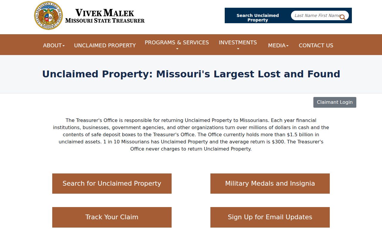
Use that search only as a historical name lead when it fits another lawful inquiry. It cannot identify Jackson County neighbors or establish present residence.
Jackson County Neighbor Privacy Limits
Some information is intentionally unavailable. County property fields do not prove a household, and a voter result is not proof of current occupancy after a move. Jackson County Election Board serves areas outside Kansas City's corporate limits, while Kansas City residents use the Kansas City Election Board. The JCEB voter-information route is for registration and district information in its jurisdiction. RSMo §115.157 describes limited public voter fields and does not require a public internet list; protected-address rules and statutory limits still apply.
For a lawful public-record request, JCEB's fillable form allows a requester to describe documents, maps, voter lists, or other records; choose email, flash drive, CD, or paper; state a time period; and set a fee cap or request a waiver. The board is at 215 N Liberty Street, PO Box 296, Independence, with 816-325-4600 listed on the county registration page. Use the correct board, office counter, phone or mail route for the address rather than treating one online lookup as countywide.
Missouri Safe at Home protects qualifying participants through a substitute-address program. A protected address, sealed record, or missing result is a stop point. Do not reverse-engineer a person through nearby parcels, voter history, tax mail fields, or old directory entries.
Lawful use. Jackson County neighbor research can support local history, civic context, reconnecting, and a property question. Do not use records to watch, harass, intimidate, or harm anyone.