
Finding Jackson County Residents
Jackson County records answer different parts of a resident question. Start with the fact already known: use an address for the parcel map, a recorded name for the deed index, a directory year for a past household, or a court case number for a docket. A property card can be a useful lead, but it does not prove present occupancy or title. A historic directory may show an address, yet it is only a dated listing. Keeping the record type and its date in view prevents a familiar name from becoming a false match.
For a person with a common name, anchor the search with two independent details. A parcel plus a recorded party, a directory entry plus a later newspaper notice, or an address plus a matching year is much stronger than a name alone. Jackson County includes Kansas City, Independence, Blue Springs, Lee’s Summit, Raytown, and many other municipal labels. Preserve the city wording shown by the source instead of changing every result to Kansas City.
- Use the county property or GIS search to normalize a known street address and capture the parcel number and legal description.
- Search the Recorder’s Aumentum index by recorded party, grantor, grantee, date, or the legal-description clues from the parcel card.
- For a dated household lead, check the Midwest Genealogy Center catalog, microform guides, or Kansas City Public Library history collections.
- Use the correct election board or Case.net only for the narrow record question those sources actually answer.
- When the record is older, restricted, or absent online, contact the custodian, library, archive, or court counter with a precise series and date range.
Jackson County’s Two Record Centers
Jackson County was organized in 1826 and has a two-seat history that still matters to research. Independence is home to the Historic Truman Courthouse, the Recorder of Deeds, and the Jackson County Historical Society context. Kansas City holds many county administrative and court locations, while its municipal records are separate from county records. An old address can also carry a village, township, rural-route, or post-office label that does not match a current mailing city.
Use the office that created the record. The county Assessor and GIS staff handle parcel context, the Recorder maintains land instruments, circuit court departments maintain case records, and election offices keep their own material. A written request under the Missouri Sunshine Law should identify the existing record, date range, preferred format, and a fee cap. Missouri’s response standard is as soon as possible, no later than the end of the third business day unless a lawful delay is explained.
Jackson County Property Records by Address
The Jackson County Public Property Portal is the first official stop for a current address question. It searches real and personal assessment records by street address, parcel ID, and related methods. The county’s Property Info instructions call for house number, direction, street name, city, and ZIP without the state. They also advise standard street abbreviations and waiting for address suggestions while entering digits. Keep the portal’s suggested form as the county search version.
A parcel card can display the situs address, lot size, land use, legal description, values, owner and mailing address as shown, district fields, and print or export routes. The county describes its cards as informational rather than certified legal instruments. A mailing address can differ from the property address, and a current owner field is not proof that a person now lives there. The Jackson County street directory applies this address trail one street at a time.
| Property field | What it helps establish | Careful next step |
|---|---|---|
| Street address or parcel ID | County-recognized property lead | Save the parcel and search form used. |
| Legal description | Lot, block, subdivision, or tract clue | Use it in the Recorder index. |
| Owner and mailing fields | Assessment data as displayed | Do not treat either as proof of occupancy. |
| District and map fields | School, library, fire, water, and location context | Confirm the exact parcel and date. |
The county launched the new portal in July 2025. Its announcement says the Values tab shows 2022 and 2025 values and that cards update as changes are made. That timing is a useful reminder to save the access date with any Jackson County property result.
Jackson County Recorder Name Trails
The Aumentum real-estate index lets a Jackson County researcher move from parcel clues to recorded instruments. Its live form exposes combined or separate name searching, grantor and grantee fields, filing dates, instrument and book/page ranges, document type, subdivision, lot, block, and condominium fields. Grantor means the party conveying an interest. Grantee means the party receiving it. These terms describe a recorded transaction, not necessarily a resident.
The portal displayed a permanent real-estate index and images from January 1, 1962 at the August 2026 inspection, with a temporary index for the latest records. Dates on a live portal change, so confirm the displayed range before relying on it. Deeds begin in 1827 in the State Archives guide. For older records, use the Archives inventory, MGC microfilm, the Recorder, or a written research request instead of assuming every book is online.
| Name mode | Combined name search, or separate grantor and grantee fields. |
|---|---|
| Date filed | From and to fields accept an instrument time window. |
| Document type | Includes deed, deed of trust, release, easement, plat, lien, judgment, probate, and other live choices. |
| Land clues | Subdivision, lot, block, condominium, book, and page fields can narrow a parcel trail. |
Note: The Recorder does not conduct telephone searches, so use the index, an office visit, or a specific request with names, dates, and book or instrument details.
Jackson County Resident Records Offices
These offices form the practical Jackson County residents directory network. Each keeps a different record and each has its own access route. An online index is often the quickest lead, but older books, certified copies, and restricted files may require a counter visit, mail request, or phone call for routing. The historical county guide, library collections, and municipal custodians remain important when a portal reaches only the modern series.
Jackson County Recorder of Deeds
Historic Truman Courthouse
112 W Lexington, Suite 30
Independence, MO 64050
816-881-4483
Jackson County Assessment
County assessment and GIS records support parcel, value, district, and map research.
GIS mapping: 816-881-4561
Jackson County Election Board
215 N Liberty Street
Independence, MO 64050
816-325-4600
Jackson County Voter Jurisdiction Split
Election records in Jackson County require a city-limit check before any name search. The Jackson County Election Board serves voters outside Kansas City corporate limits. Kansas City residents use the Kansas City Election Board. JCEB’s lookup is intended for registration, districts, and, when available, ballot or polling-place information. A matching result is registered information for that record, not a declaration of current occupancy or a countywide roster.
The official JCEB jurisdiction page pairs ZIP and city labels with district information, which helps explain why the right office is not always obvious. For older voter material, JCEB offers a public-record request form with delivery choices, a description and time-period field, fee cap, and signature. Missouri law describes the available voter-file schema and limits commercial use. Protected addresses and closed records must stay protected.
The Missouri registration form shows the identity and address fields a voter supplies to register. It is a registration tool, not a public directory. Its screenshot is a useful reminder that identity fields should not be recopied into a resident profile.
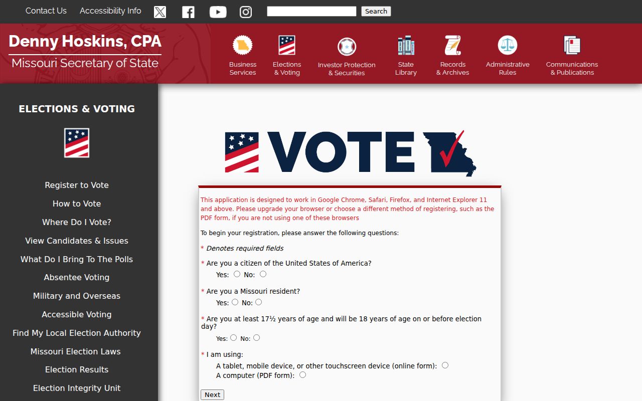
Use the election board’s official lookup or request route for the narrow public-record question, then compare jurisdiction and date with another Jackson County source.
Current Jackson County Resident Directory Sources
No official Jackson County resident directory lists every person in one place. The sources below are record sets with defined purposes. A parcel search leads to assessment information; a Recorder index leads to recorded parties; an election lookup serves a registration question; and a court index identifies a public case. The strongest search path selects the source based on the question and records its limit beside the result.
| Jackson County source | Useful for | Access channel | Important limit |
|---|---|---|---|
| Property Portal and Parcel Viewer | Parcel, legal description, owner or mailing field as shown | Online portal, GIS contact, assessment route | Not certified title or present occupancy. |
| Aumentum Recorder index | Recorded parties, dates, documents, book or page | Online index, Recorder counter, mail request | Not a complete owner or resident history. |
| JCEB or KCEB | Registration and district question | Official lookup, board office, request form | Jurisdiction split and protected fields apply. |
| Case.net and 16th Circuit | Public party, case, docket, or disposition lead | Online, courthouse terminal, clerk request | Sealed and protected records may not appear. |
| Missouri Vital Records | Eligible certificate or index lead | Local registrar, state route, mail or in-person | Relationship, ID, and access rules control. |
When the goal is to verify one person rather than trace an address, the Jackson County resident lookup sequence focuses on matching name, role, date, and place without treating a single hit as proof.
Jackson County Results Need Context
Jackson County public results should be read as evidence with boundaries. An Assessor result may establish a parcel and show an owner field. A Recorder result may establish that an instrument was recorded. A Case.net result may show a party role, docket entry, or public disposition. A directory entry may show a household listing for a year. None of these alone proves that a same-named person is the one being sought, that someone lived at an address continuously, or that every available record was searched.
| Official record | What it can support | What it cannot settle alone |
|---|---|---|
| Assessment card | Parcel and displayed assessment fields | Legal title or present occupant. |
| Recorded deed index | Instrument parties and recording details | Continuous occupancy or every transfer. |
| City directory | Listed name or address in a dated volume | Current address or unlisted household. |
| Court docket | Public case information and role | Meaning of a claim without its disposition. |
Jackson County Archive and Library Trails
Older Jackson County research usually leaves the current portal. The Midwest Genealogy Center in Independence maintains city-directory, phone-book, microform, and local-collection paths. Its Jackson County collection guide covers 1894 to 2001 and identifies five boxes of material related to Independence, Kansas City, Raytown, schools, and ephemera. Some microfilm or microfiche titles are not in the catalog, so staff assistance is part of the access route.
Kansas City Public Library’s KC History materials add directories, maps, yearbooks, oral histories, newspaper access, and the 1940 Tax Assessment collection. The Jackson County Historical Society is appointment-only and its donated holdings are incomplete, but its collections include maps, plats, abstracts, deeds, wills, photographs, and directories on microfilm. Ask for a specific title, year, box, folder, reel, or page.
- Parcel
- A county property identifier tied to a mapped legal description, not a list of people living there.
- Index
- A finding tool that points to a record. It may omit images, older series, or protected material.
- Criss-cross directory
- A street-order directory section that can connect an old address to a printed listing when a verified run exists.
- Roll
- A microfilm reel or a list maintained for a particular record purpose, not a universal resident list.
Jackson County ZIP and City Labels
Jackson County geography is an essential part of a resident search. A mailing ZIP is not a municipal boundary, a parcel district, or proof that a person occupies an address. The official JCEB crosswalk shows shared labels such as 64015 for Blue Springs, Independence, and Lake Tapawingo, and 64129 for Grandview, Independence, Kansas City, and Raytown. This is why a source can look inconsistent when the underlying address may still be correct.
Use the USPS ZIP Code Lookup to normalize a mailing address, then compare it with the county parcel result and the proper election jurisdiction. USPS offers address-to-ZIP, city-and-state, and ZIP-to-city modes, and expressly says that a ZIP result does not confirm occupancy. For school, library, fire, water, or TIF details, use the specific parcel rather than a ZIP-wide assumption.
Note: River Bend’s north-of-the-Missouri-River location and Jackson County’s many historic communities are examples of why old maps and current mailing labels can point in different directions.
Jackson County Vital and Court Limits
Vital records are controlled certificates, not an open Jackson County residents directory. Missouri’s central repository covers births, deaths, and fetal deaths from 1910 forward, and central marriage and divorce records from July 1, 1948. Direct or tangible interest, identity, relationship, purpose, notarization, and fee rules apply to many requests. Jackson County Public Health offers a local birth and death copy route, while Missouri DHSS controls statewide eligibility and the state mail process.
The Missouri vital-record order page provides the current route for forms, eligibility, and processing information. A death record more than 50 years old has a genealogy route through Missouri Digital Heritage, but a historic index is still not a certified certificate. Court searches are also bounded: Case.net may reveal a public index while documents or sealed matters remain unavailable remotely.
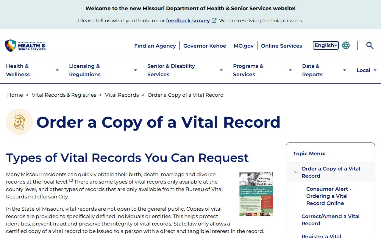
Match the request to the custodian and the legal access rule. If the right record is not available online, a local registrar, court clerk, archive, or written request may be the appropriate next channel.
Jackson County Entity Name Checks
Sometimes a Jackson County parcel or deed names an estate, trust, LLC, or corporation instead of an individual. That legal party can explain why a person-name search looks empty. Missouri’s business-services search can help distinguish an entity name or registered filing from a personal name, while the Recorder’s UCC and land indexes can supply date and role clues. An entity or registered-agent address is not a home address.
The Missouri professional-registration portal is another limited corroboration route when a public license record is relevant. It can help separate similar names by board, license number, or status, but it does not establish where a person lives. Use the source’s own date and scope rather than carrying a result into a broader claim.
The Missouri professional-registration search is shown in the official source image below. Its value is careful disambiguation, not creation of a personal profile.
For an entity tied to a parcel, preserve the legal name, recording date, and record role, then return to the Recorder and parcel trail for the underlying property context.
Historical Jackson County Resident Directories
Historical directories give Jackson County a dated social record that a parcel card cannot. MGC’s guide lists Kansas City directories from 1859 onward with many microfilm and fiche runs, plus selected Independence, Blue Springs, Lee’s Summit, Greenwood, and Raytown telephone-directory years. KCPL and JCHS add maps, directories, tax-assessment material, newspapers, plats, and local collections. Holdings have gaps, so request the exact title and year instead of assuming an annual run.
A directory can show a name, household notation, occupation, street, telephone, or neighboring entry for that printed year. Compare it with a deed, parcel, newspaper, obituary index, plat, or court record before drawing a conclusion about a family or address. The Jackson County city directory collections page details the library and archive routes, including microform loans and appointment research.